


Select NOAA-NWS Forecast Office Text Products
(Product availability varies with seasons, forecast office, and weather.)
Forecast Discussion for Indianapolis, IN
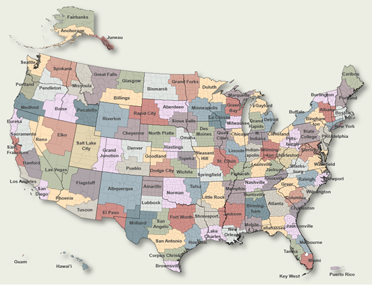
To Select Another NWS Office Click on Map or Choose from List
|
| Select Forecast Office: | Select Product: |
628 FXUS63 KIND 031344 AFDIND Area Forecast Discussion National Weather Service Indianapolis IN 944 AM EDT Mon Aug 3 2026 .KEY MESSAGES... - Quiet weather conditions with slightly below or near normal highs through Wednesday - Generally humid, seasonably warm with occasional rain/storm chances Wednesday night through Sunday...rain most likely Thursday-Friday && .FORECAST UPDATE... Issued at 940 AM EDT Mon Aug 3 2026 Current satellite and surface observations still depict low stratus across a large portion of central Indiana. East/northeast portions of central Indiana have already cleared out significantly over the past few hours. A strong August sun and subsidence from surface high pressure will continue to clear out the low clouds later this morning into the early afternoon. Minor visibility reductions are still being reported at a few sites, but these sites should quickly improve in the next hour. Look for mostly clear skies later today and quiet weather conditions. Enjoy a relatively pleasant afternoon with slightly cooler than normal highs in the upper 70s to low 80s and dewpoints generally in the low-mid 60s. && .DISCUSSION (Today through Sunday)... Issued at 311 AM EDT Mon Aug 3 2026 Early this morning through tonight... Areas of reduced visibility are possible through the pre-dawn hours and Monday morning commute among light winds and rather damp conditions in the mid-60s. Quick changes/drops in visibility are possible, especially around open fields and bodies of water. Fog is expected to clear by 900 AM EDT. Narrow upper riding will slide from the Upper Midwest to southeastern Canada over the next two periods...while corresponding amplified, yet weak surface high pressure shifts from the Great Lakes to central Appalachians by early Tuesday. Despite ample sunshine by this afternoon, light northeast breezes under H850 temperatures near 16 degrees Celsius...will yield sub-seasonal readings, with highs around 80F for most locations. Lack of stronger northerly advection will, however, still allow seasonable/moderate humidity...with dewpoints maintained in the mid-60s through much of this evening. Tonight will feature a smaller transition to brief cooler conditions as the surface ridge`s center passes just to the north of the CWA. Flow will likely veer towards an easterly heading while trending to light and variable...as noticeably lower dewpoints around 55-60F reach most counties by dawn. Mostly clear skies will promote temperatures falling to the upper 50s/around 60F for most zones...which will present potential for widespread fog and and patches of visibility under 1 mile...especially where heavy rainfall has fallen since Saturday. Tuesday and Wednesday... Central Indiana will be in between an upper low to the southeast and a large upper trough approaching from the northwest. At the surface, high pressure looks to remain in control. Will continue with a dry forecast, but will have to keep an eye on the upper low. If it drifts farther to northwest than expected, some low PoPs may have to be added to the forecast for parts of the area. Highs will generally be in the lower to middle 80s. Wednesday night and beyond... The large upper trough will move into the area at least into Saturday. Various shortwaves will move through this trough, bringing rounds of forcing. At the surface, a front will meander across the area. These will be enough to keep PoPs around through the period. Uncertainty remains relatively high on when the best forcing will be in the area, but for now odds favor Thursday afternoon and night. With increasing moisture, instability will be able to increase across the area late in the week. For now, odds are low for any severe storms, but will continue to monitor in case one of the shortwaves becomes stronger than currently expected. Some guidance hints at the ridge across the western USA nudging into the area late in the weekend into early next week. This would lower rain chances and allow temperatures to return to around 90 degrees. Given the uncertainty, will keep highs mainly in the middle and upper 80s into next Monday. && .AVIATION (12Z TAF Issuance)... Issued at 707 AM EDT Mon Aug 3 2026 Impacts: - LIFR/IFR ceilings possible through 13Z - MVFR/worse visibility in BR through 13Z at KHUF/KBMG - Potential MVFR ceilings in cumulus through 16Z Discussion: Damp early morning underway for all central Indiana terminals, with stratus ceilings at only 200-500 feet locked-in, with lowest decks over KBMG/ KHUF...and concurrent visibility reduction from BR to MVFR at KHUF and IFR/MVFR at KBMG. Expect conditions to improve through 13Z...with ceilings rising to MVFR and/or scattering out by 14Z for most locations. Further occasional MVFR ceilings are possible across the region thru midday should low cumulus field reach BKN coverage. Remainder of TAF period to favor most-often VFR conditions amid light northeast flow through 06Z tonight. Calm and mostly clear conditions later tonight could once again promote fog. && .IND WATCHES/WARNINGS/ADVISORIES... None. && $$ UPDATE...Melo AVIATION...AGM DISCUSSION...50/AGM |
Previous Forecast Discussions may be found at
NWS Indianapolis, IN (IND) Office Forecast Discussions.
(Click 'Previous Version' there to view past versions successively.
Some may differ only in time posted.)
Products Courtesy of NOAA-NWS
NWS Information Parsing Script by Ken True at Saratoga Weather - WFO and Products Scripts by SE Lincoln Weather.
Mapping by Curly at Michiana Weather and by Tom at My Mishawaka Weather.