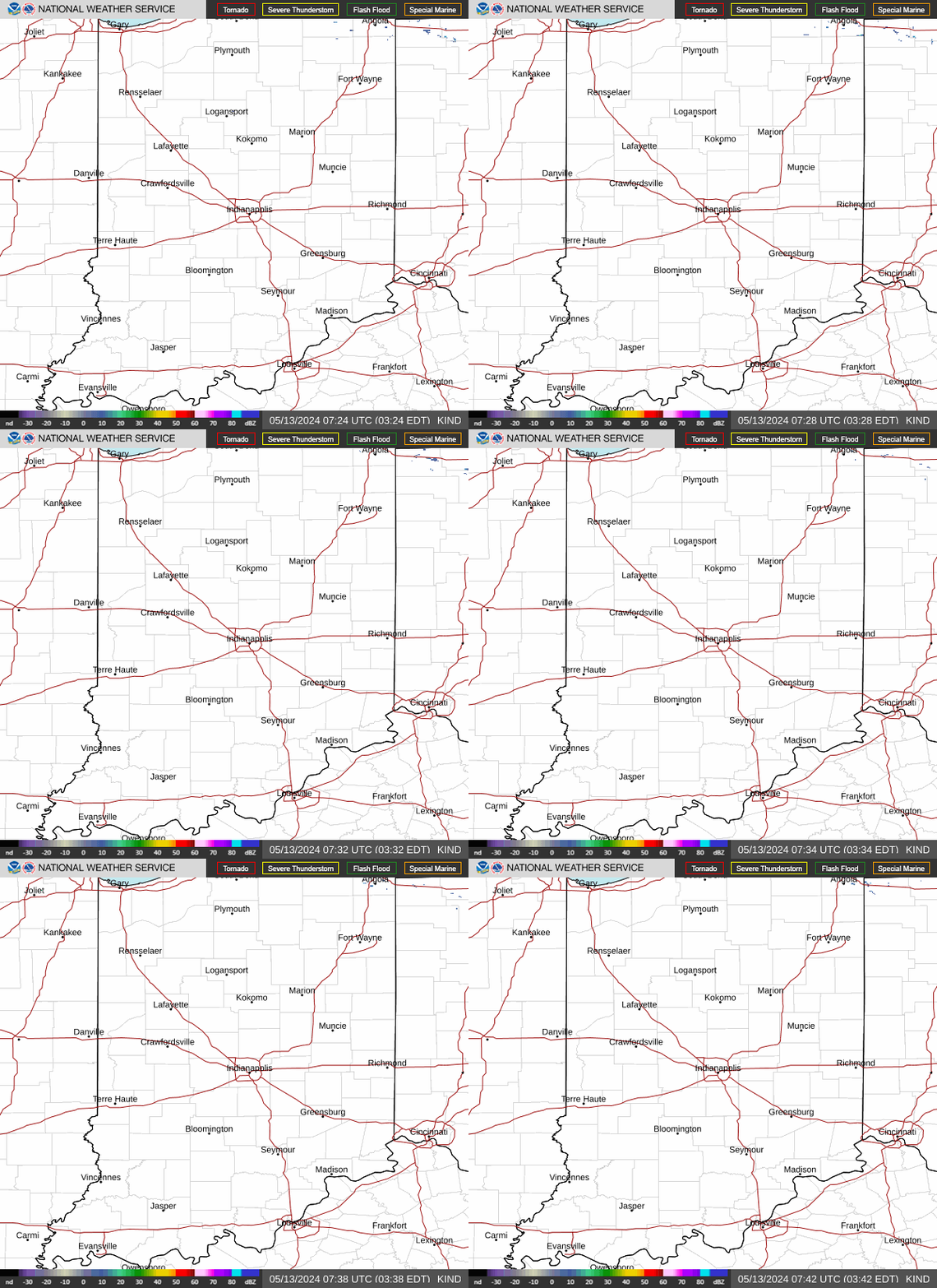
Click Image For Visible Satellite
Click Image For Radar Loop
Visible Satellite
GRLevel3 Radar
Radar Images Courtesy of NOAA Aviation Weather and GEOCOLOR Satellite Images Courtesy of NESDIS.
spacer
Updated: @ 26-May-2026 1:05am - next update at 1:10am  
Summary / Temperature Wind Rain Cloud Level
Clear Clear
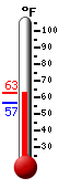
Currently: 59.2, Max: 59.5, Min: 59.0 59.2°F
Colder 0.9°F than last hour.

Cool

Feels like: 59°F

24-hr difference
2.3°FWarmer 2.3°F than yesterday at this time.
  Today Yesterday
High: 59.5°F
12:23am
80.9°F
4:43pm
Low: 59°F
12:43am
52.4°F
5:46am
 Calm -
0
Gust:
0 mph
0 Bft - Calm
Today: 0 mph 12:00am
Gust Month: 39 mph May 18
Rain Today: 0 in
Rain Rate (/hr): 0 in
Rain Yesterday: 0.01 in
This Month: 9.41 in
Season Total: 26.67 in
1 day since last rain.
cloudbase
Humidity & Barometer Almanac Sun/Moon
Humidity: 92 % Increased 2.0% since last hour.
Dew Point: 56.9°F Increased 0.5°F since last hour.
Barometer: 30.06 inHg  
Baro Trend: Falling slowly
Sunrise: 6:24am
Sunset: 9:02pm
Moonset: 3:39am
Moonrise: 4:53pm
Sunlight:
Today:14 h 38 m 9 s
(Noon)
graph
(Midnight)
Waxing Gibbous
Waxing Gibbous, Moon at 9 days in cycle
77%
Illuminated
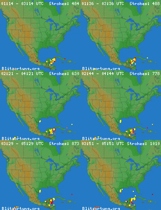
UV Index Forecast Severe Weather Outlook
26-May-2026
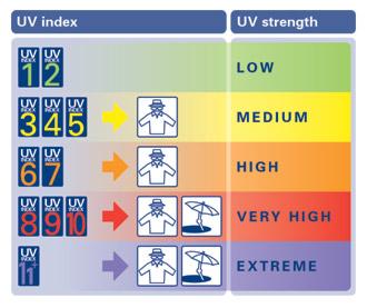
9.1     Very High 
 NWS Weather Forecast  - Outlook: Overnight & Tuesday
Overnight

Overnight: Mostly Cloudy
Mostly Cloudy

Lo 58 °F
NWS forecast: Mostly cloudy. Low around 58, with temperatures rising to around 60 overnight. Northeast wind around 2 mph.
 
Tuesday

Tuesday: Mostly Cloudy then Isolated Showers And Thunderstorms
Mostly Cloudy then Isolated Showers And T-Storms

Hi 79 °F
NWS forecast: Isolated showers and thunderstorms between 2pm and 4pm, then scattered showers and thunderstorms between 4pm and 5pm, then scattered showers and thunderstorms. Mostly cloudy. High near 79, with temperatures falling to around 77 in the afternoon. East wind 2 to 7 mph. Chance of precipitation is 30%. New rainfall amounts less than a tenth of an inch possible.
Countdown to Summer
 Summer Solstice begins June 21st at 4:24am   EDT